Successful Instagram and website Daily Overview, delights its viewers with amazing aerial pictures, highlighting rare point of view such as big cities, ports, airports and natural curiosities that our beautiful planet can offer. Served daily of course!
Mission Statement:
“Their project was inspired, and derives its name, from an idea known as the Overview Effect. This term refers to the sensation astronauts have when given the opportunity to look down and view the Earth as a whole. They have the chance to appreciate our home in its entirety, to reflect on its beauty and its fragility all at once. That’s the cognitive shift that we hope to inspire.
From our line of sight on the earth’s surface, it’s impossible to fully appreciate the beauty and intricacy of the things we’ve constructed, the sheer complexity of the systems we’ve developed, or the devastating impact that we’ve had on our planet. We believe that beholding these forces as they shape our Earth is necessary to make progress in understanding who we are as a species, and what is needed to sustain a safe and healthy planet.”
As a result, the Overviews (what we call these images) focus on the places and moments where human activity—for better or for worse—has shaped the landscape. Each Overview starts with a thought experiment. We consider the places where man has left his mark on the planet and then conduct the necessary research to identify locations (and the corresponding geo-coordinates) to convey that idea.
The mesmerizing flatness seen from this vantage point, the surprising comfort of systematic organization on a massive scale, or the vibrant colors that we capture will hopefully turn your head. However, once we have that attention, we hope you will go beyond the aesthetics, contemplate just exactly what it is that you’re seeing, and consider what that means for our planet.
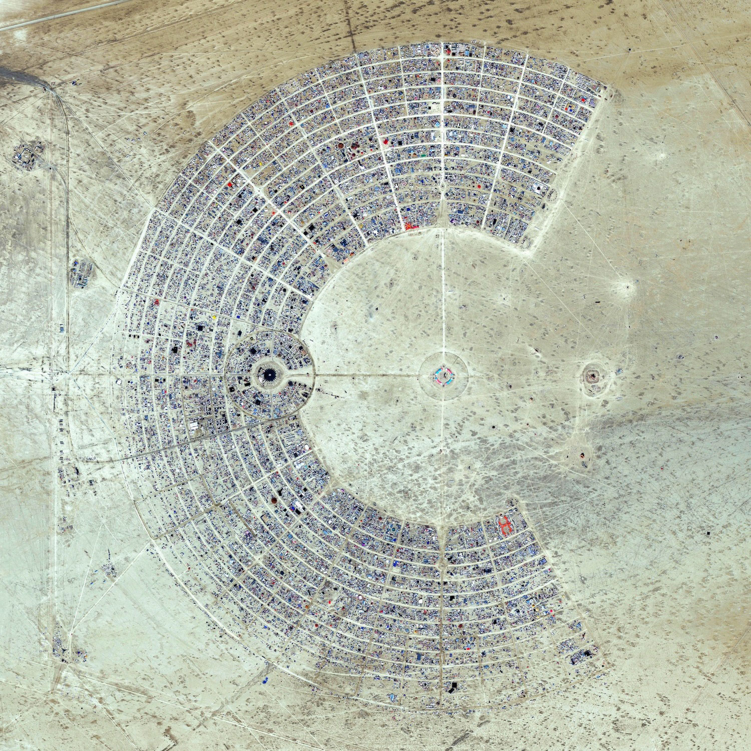
Burning Man
Black Rock City, Nevada, USA
40°47’13″N 119°12’16″W
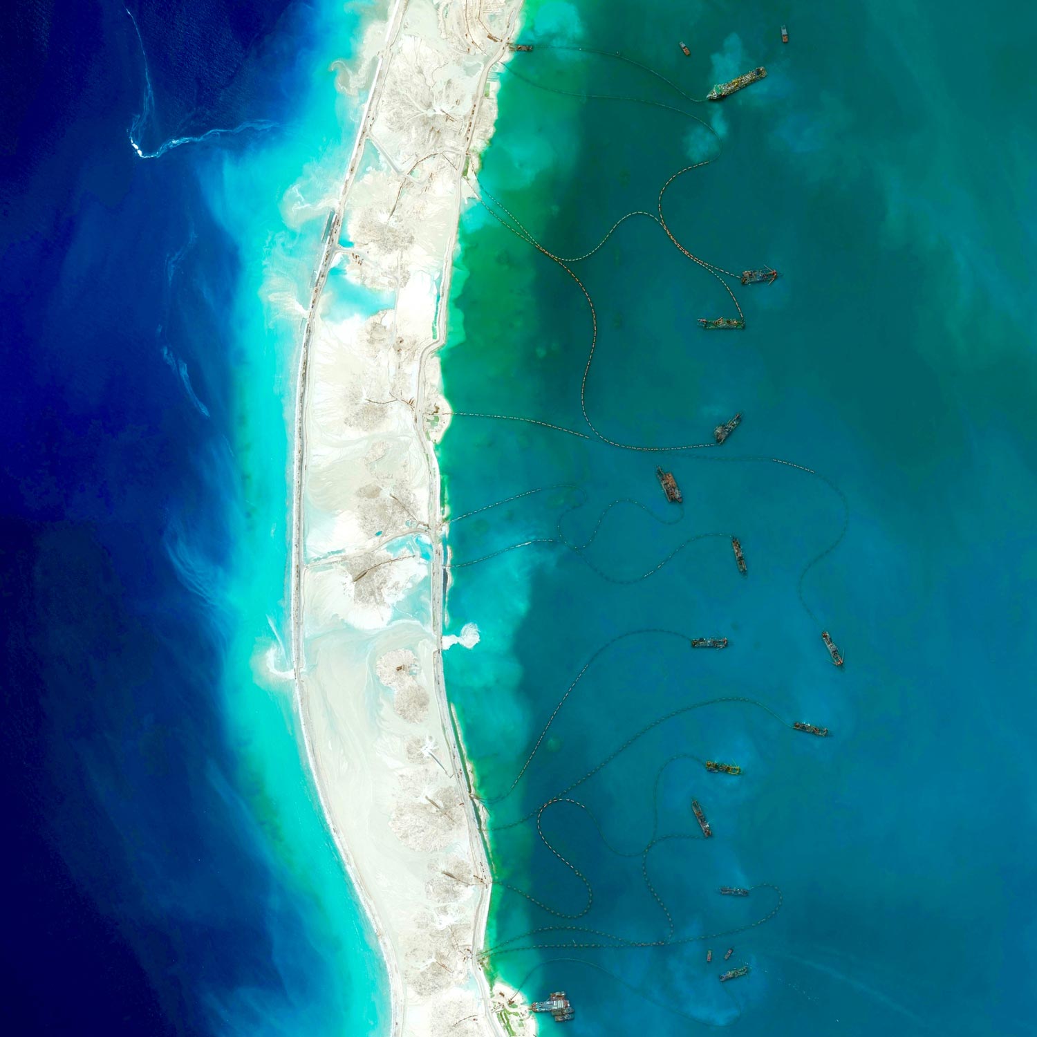
Mischief Reef
Spratly Islands, South China Sea
9°55’N 115°32’E
The New York Times published a fascinating piece this morning on Chinese island building in the South China Sea. Dredgers – the boats you see here around “Mischief Reef” – pump sediment from the ocean up into floating pipes, and deposit the material onto the reef to increase land area. This enables the large-scale construction projects currently underway on the newly formed islands. See the full story here.
Schwetzingen Palace
Baden-Württemberg, Germany
49°23’03″N 8°34’14″E
Port Hercules
Monaco
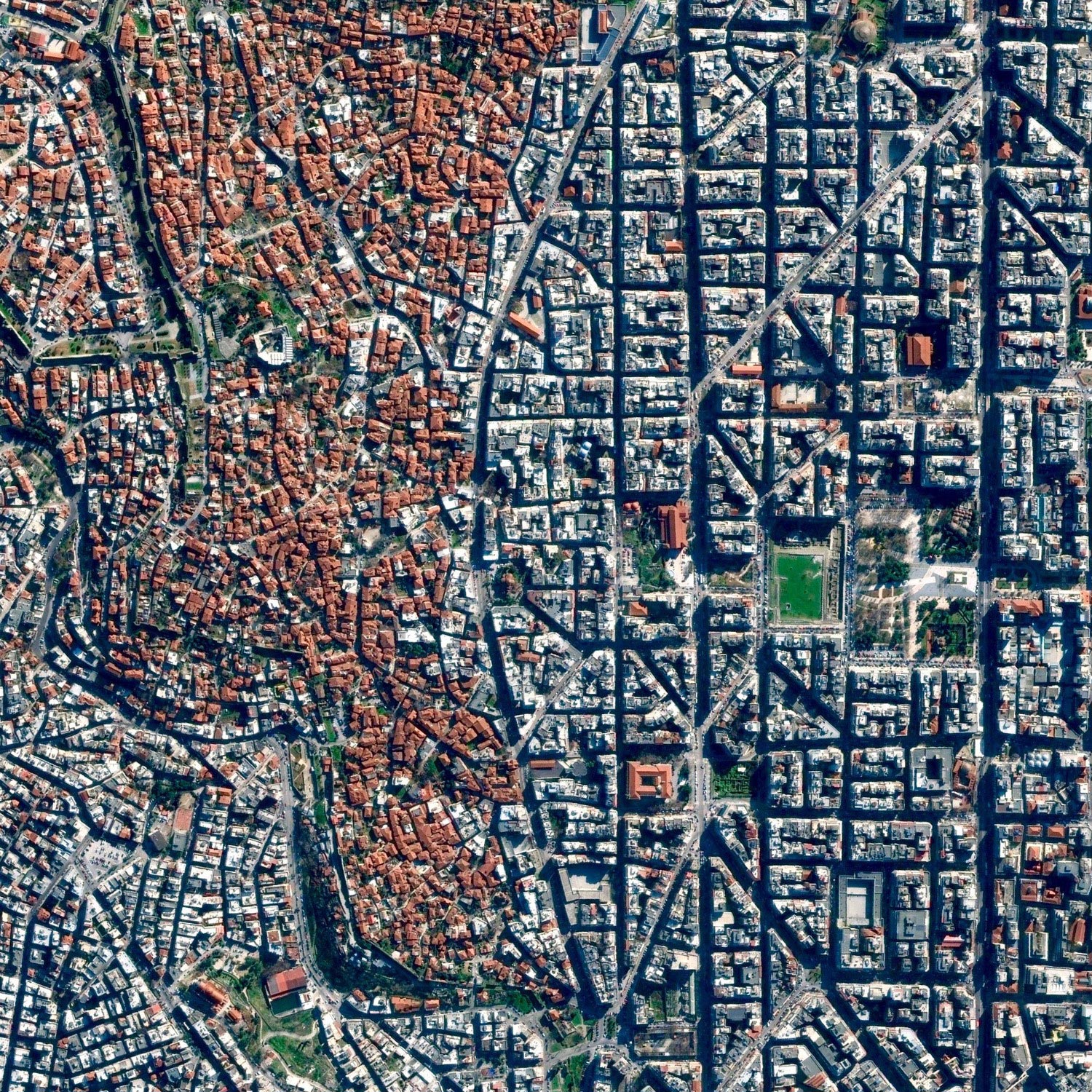
Thessaloniki
Thessaloniki, Greece
40.642068798°, 22.946650988°
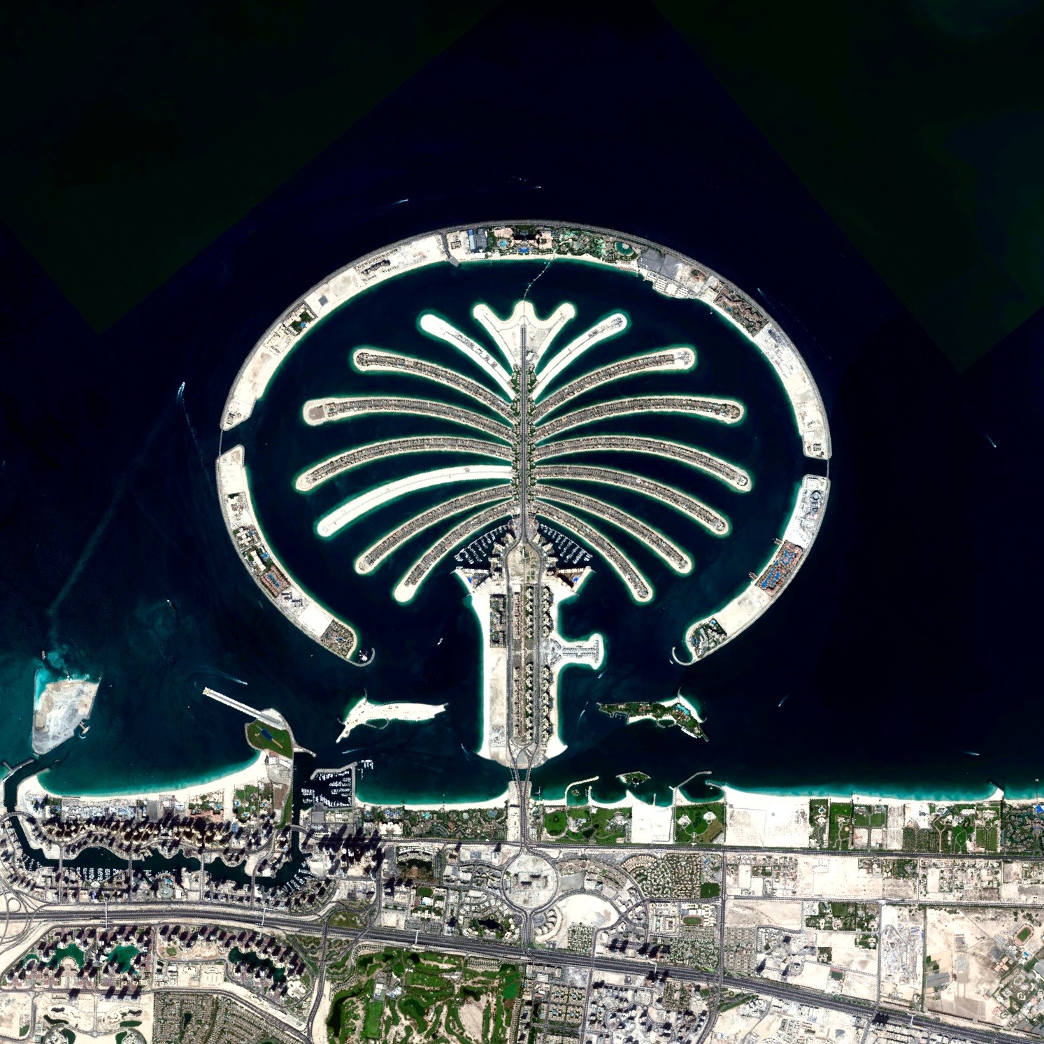
Palm Jumeirah
Dubai, United Arab Emirates
25°6’52.8″N 55°8’16.07″E
Mount Shasta
Siskiyou County, California, USA
41°24’33″N 122°11’42″W


